Skip to content

Shellingford

  • Home
  • History of the Parish
  • Parish Topics
  • Shellingford Facilities
  • Gallery

Gallery

Home » Gallery
Blue Tit
Countryside view
Footpath sign
Countryside view
Footpath sign
Robin
Timber Yard Cottages
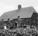
Timber Yard Cottages are listed buildings dating from the 1560s to 1570s
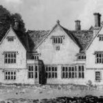
Shellingford House, a gabled Elizabethan listed building, served as a rectory for many years.
Map of the parish
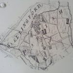
This map shows Shellingford as it used to be. There were no gaps in habitation between Fernham Road and Church Street. Some of the oldest houses in the village today are on the Fernham Road.
Robin
Map of the village
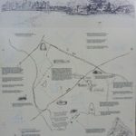
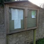
You’ll find this map in front of St. Faith’s Church
Footpath in Shellingford
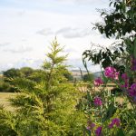
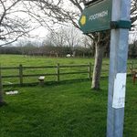
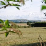
One of the many footpaths through the village and beyond
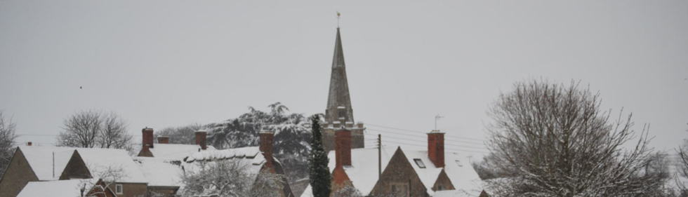
A number of photographs were taken of Victorian and Edwardian Shellingford. Please click on the link below to find a number of images related to the village, or alternatively, click photograph.
Village noticeboard
Robin
Shellingford Manor
Bird
Bird

About Shellingford

Shellingford is a village and civil parish about 2 1⁄2 miles (4 km) south-east of Faringdon in the Vale of White Horse in Oxfordshire, England.

This website provides information about Shellingford’s history, facilities, and parish minutes.

Pages

  • Gallery
  • History of the Parish
  • Home
  • Parish Topics
    • Parish Minutes
  • Shellingford Facilities
    • Accommodation
    • St Faith’s
    • Village Hall
    • Village Schools
Contact Parish Clerk Email shellingfordpc@gmail.com

Wildlife in the parish

Blue Tit
Robin
Bird
Robin
Bird
Robin

Parish countryside

Footpath sign
Footpath sign
Countryside view
Countryside view
Village noticeboard

Contact

Please email shellingfordpc@gmail.com with any questions or for more information.
Our privacy policy is here.

Minutes

To find the latest parish minutes, click here

Powered by WordPress .Theme: Greed by Webulous Themes